Why we’re called Ortelian.
In 1570 Abraham Ortelius published the first modern atlas, the Theatrum Orbis Terrarum. The maps in it already existed. What was new was having them all in one book, drawn the same way.
One atlas.
Before Ortelius, maps of the world were scattered. Different mapmakers, different scales, different ideas about where things were. He collected them, redrew them to one standard and put them in a single volume. He even credited the people whose maps he used.
What he saw.
With the whole world in front of him, he noticed something. The coasts of the Americas, Europe and Africa looked like they had once fit together. He was right. It took about three hundred years for the rest of science to catch up.
He didn’t find this by exploring. He found it by putting what everyone already knew side by side.
Why Ortelian.
That is what we do for a company. Its knowledge is scattered across systems, documents and people’s heads. We put it in one model, so the things that were always connected become visible, and agents can work from them.
The map is never the territory. But the right map shows you what the territory was hiding.
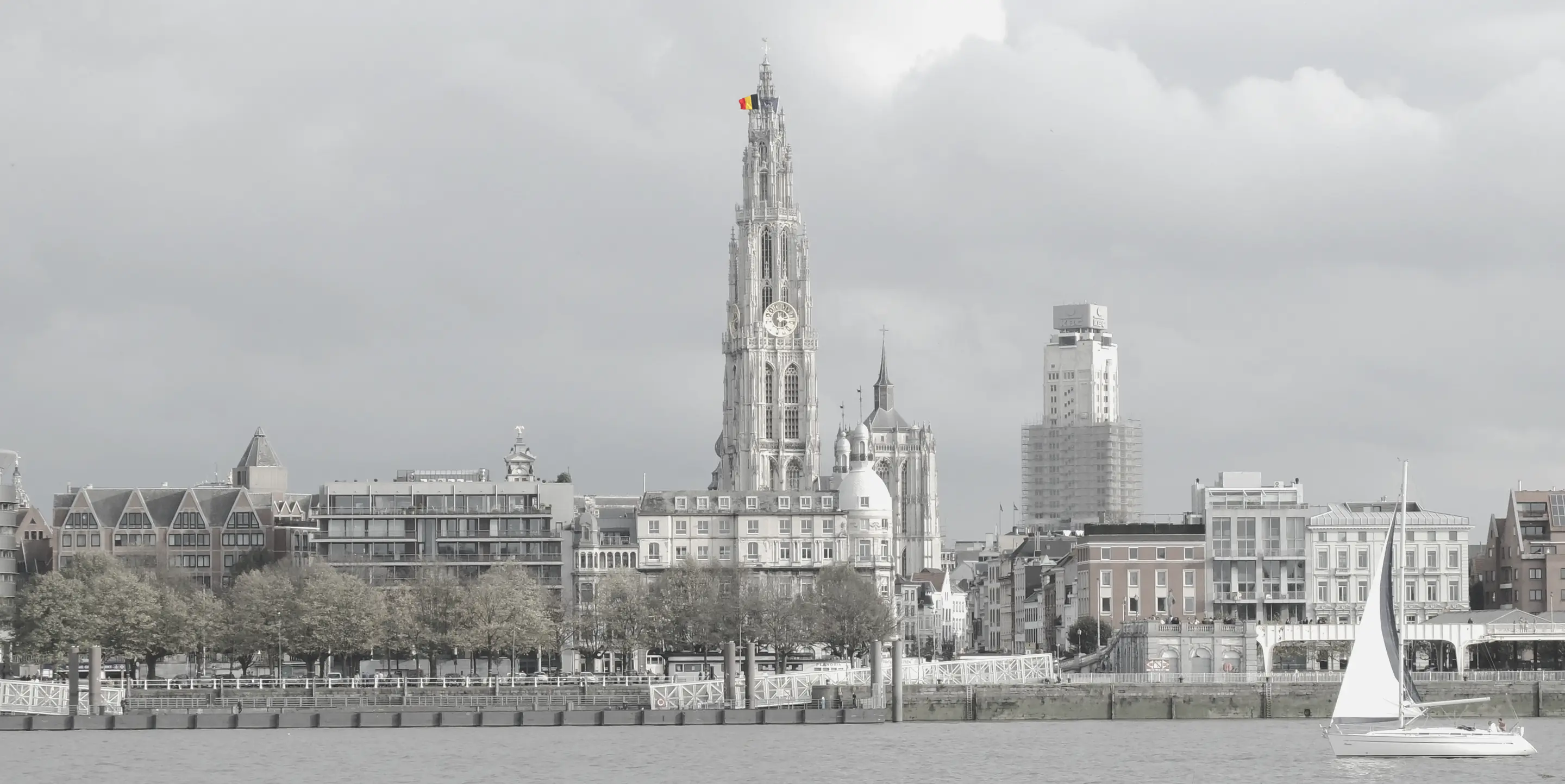
Ortelius worked in Antwerp. So do we.